
Pull up any mappa Cavallino Treporti, and your eye goes straight to the beaches and the ferry terminal at the tip.
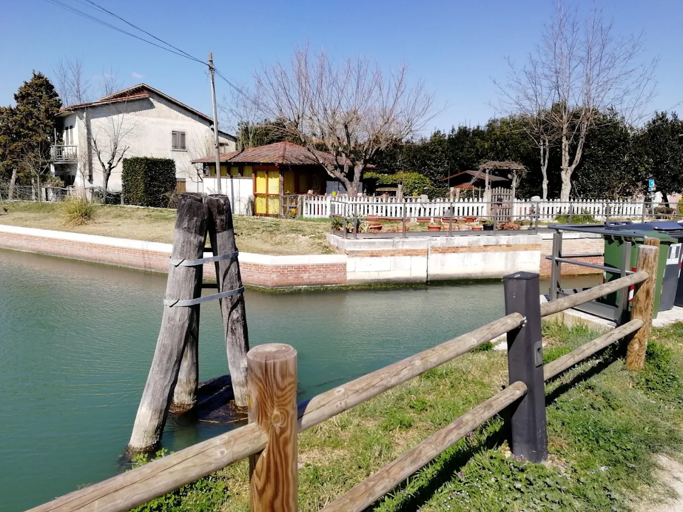
Look at the top of the peninsula instead, where the Sile meets the lagoon canals. That’s where you’ll find the Porte del Cavallino, a set of navigation locks that has been moving boats between river and lagoon since 1632.
This guide explains where the locks are, why the Venetian Republic built them, how to get there, what’s nearby, and which cycle routes pass through, so you can plan a half-day around one of the oldest working landmarks on this coast.
Where are the Porte del Cavallino on the Cavallino-Treporti map?
On a Cavallino-Treporti mappa, the Porte del Cavallino is at the north-eastern entrance to the peninsula, beside the bridge that links the Isola del Cavallino to the mainland. This is where the Casson canal (once called the Canale Cavallino) joins the Sile.
Here’s how the main places line up if you read a Cavallino Treporti Venezia mappa from north-east to south-west:
| Area (north-east to south-west) | What’s there |
|---|---|
| Porte del Cavallino | 17th-century locks between the Sile and the lagoon canals |
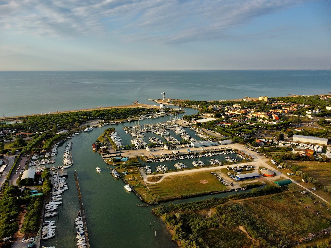
| Faro di Piave Vecchia | 48-metre striped lighthouse at the mouth of the Sile |
| Cavallino village | Parish church completed in 1751, weekly market, shops on Via Fausta |
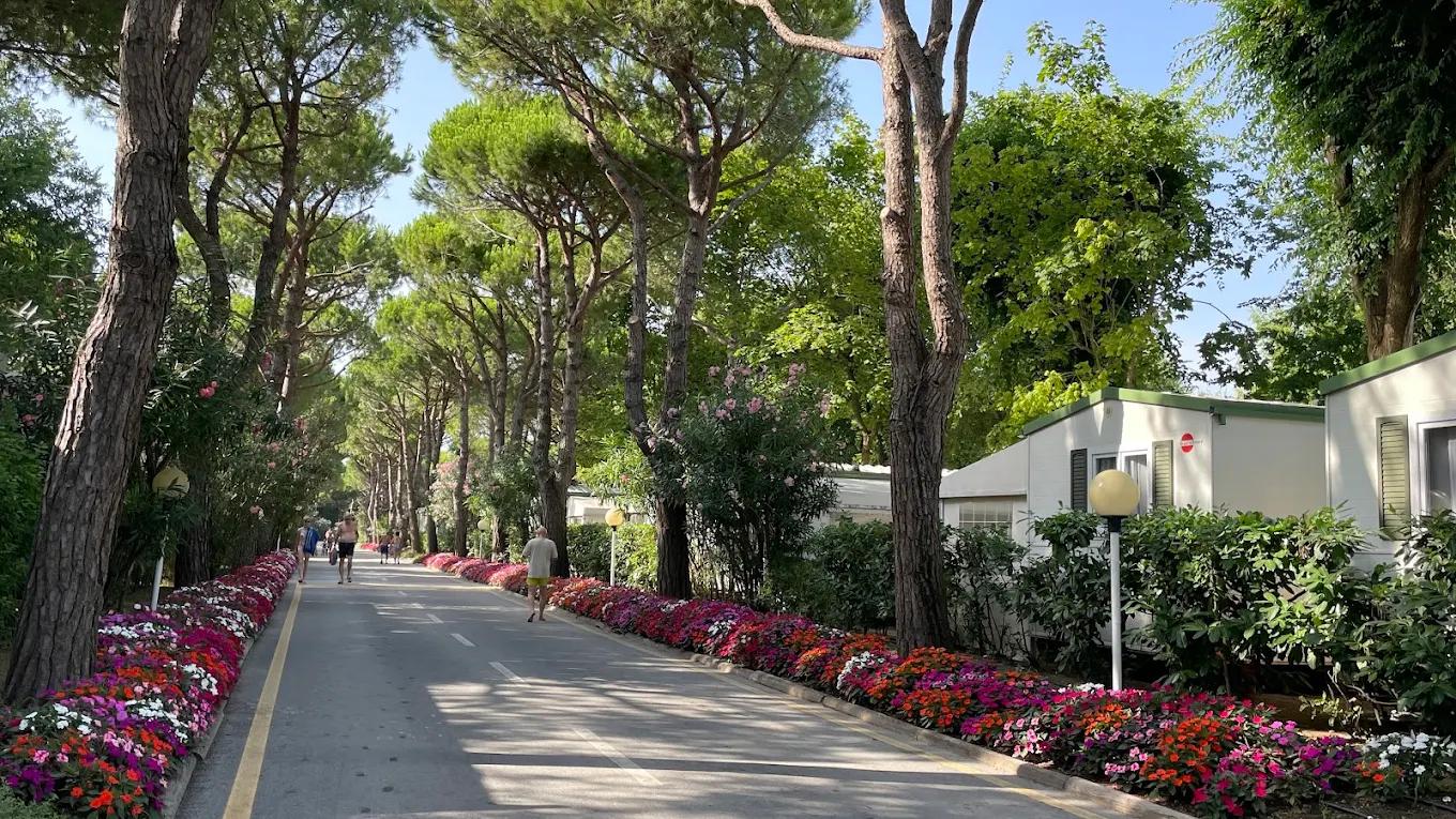
| Ca’ Pasquali and Ca’ Vio | Campsites and wide family beaches |
| Ca’ Savio | Dunes, pine woods and the Batteria Pisani |
| Treporti and Lio Piccolo | Lagoon villages, farms and canals |
| Punta Sabbioni | Ferry terminal for Venice and the islands |
History and function of the Porte del Cavallino locks
The Sile hasn’t always followed this course.
Its lower channel was once the bed of the Piave, which is why the river mouth is still called Piave Vecchia, or “old Piave”.
During the 17th century, the Venetian Republic carried out major hydraulic works to push silt-heavy rivers away from the lagoon and out to sea. Keeping the lagoon open mattered more to Venice than almost anything else, as silt could close its channels and its defences.
| Year | What happened |
|---|---|
| Late 1200s | The name “Cavallino” first appears in documents |
| 1632 | Daniel Nijs builds the locks, and the Canale Cavallino opens to boats |
| 1654 | A customs house is added to control goods passing through |
| Late 1600s | An osteria opens beside the locks, still trading as Locanda alle Porte 1632 |
| Late 1700s | The Republic sets 99 boundary stones to mark the edge of the lagoon |
| 1999 | Cavallino-Treporti becomes its own municipality |
Today the locks are part of the Litoranea Veneta, an inland waterway of about 127 km that runs parallel to the coast from the Venetian Lagoon towards the Isonzo.
The canal system still links the lagoon, through the Pordelio and Casson canals, with the Sile.
How to get to the Porte del Cavallino by car, bus and bike
On any Cavallino Treporti Venezia mappa, the locks sit right where the peninsula meets the mainland, so they’re easy to reach from both Jesolo and Cavallino.
- By car: leave the A4 at the Venice exit, follow signs for “Mare” and Jesolo, then head towards Cavallino. The locks are by the bridge onto the Isola del Cavallino.
- By bus: ATVO buses run between Lido di Jesolo and Punta Sabbioni through Cavallino. The full run takes around 50 minutes.
- By boat from Venice: take ACTV line 15 (direct, not daily) or line 14 via the Lido from San Zaccaria to Punta Sabbioni in 25 to 35 minutes, then continue north by bus or bike.
- By bike: the easiest option if you’re staying on the coast, as cycle lanes run along much of Via Fausta.
What to see near the Porte del Cavallino in Cavallino-Treporti
- Locanda alle Porte 1632: the old osteria beside the locks, with a pergola over the Sile. It’s the obvious place for lunch.
- Oratorio del Cristo Re: a small 17th-century chapel along the Sile embankment, near one of the Republic’s boundary stones.
- Faro di Piave Vecchia: first built in 1846, later rebuilt, and now 48 metres tall at the mouth of the Sile.
- Forte Vecchio: the Austrian fort at Treporti, built between 1845 and 1851 to guard the lagoon entrance.
- Lio Piccolo: the lagoon hamlet of Lio Piccolo, the oldest settlement on the peninsula.
- The beaches: about 15 km of Blue Flag sand, from Ca’ Vio to Marina di Venezia.
Cycling routes and nature trails around the Porte del Cavallino
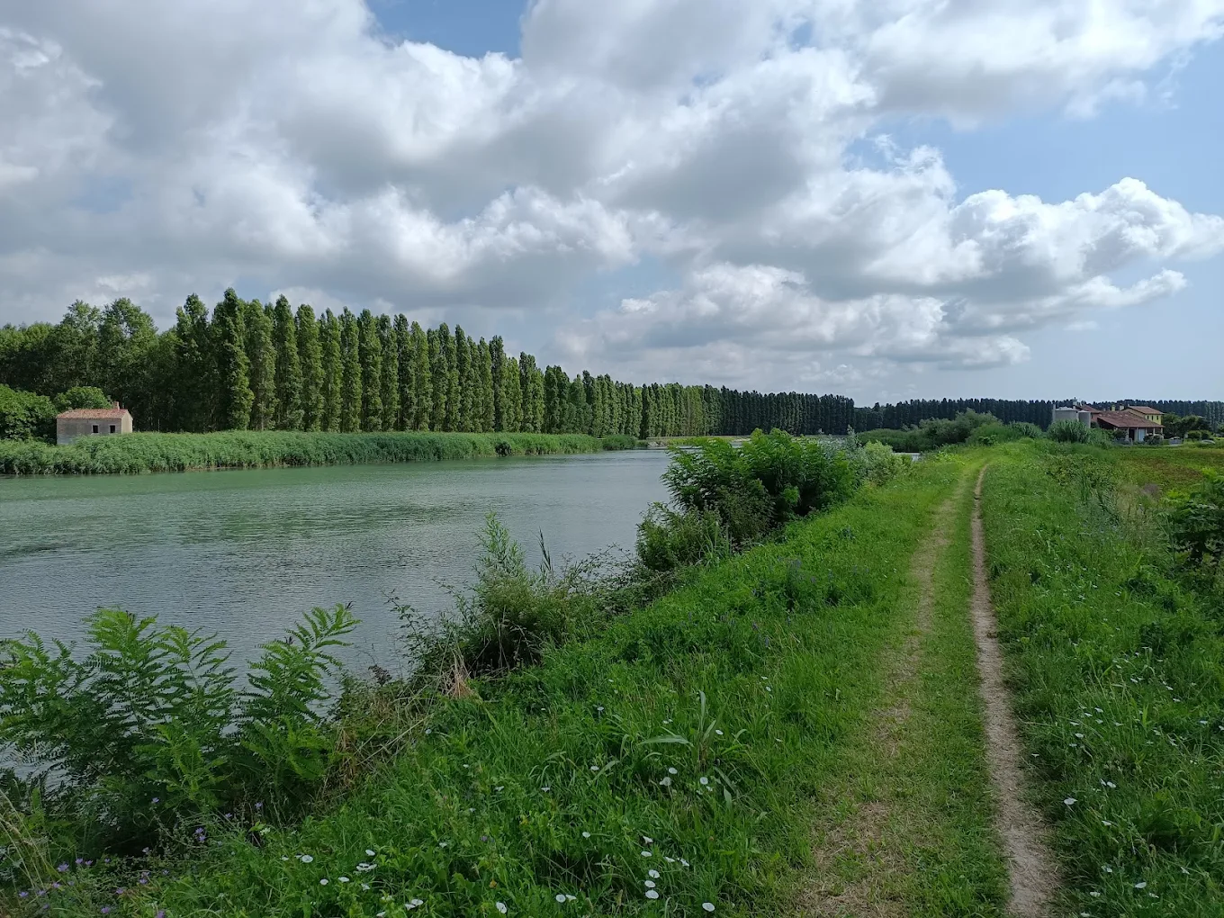
The land here is completely flat, and the canals, river banks and fishing valleys make for easy, quiet riding. A short shared path of about 2.3 km runs past the locks themselves, partly paved and partly on stone, before joining gravel roads.
| Route | Length | Highlights |
|---|---|---|
| Three Waters Park | 8.5 km | Starts by the locks, follows the Casson canal to the Sile mouth and the Faro |
| Memories between sea and land | 25 km | Casson canal, fishing huts, Cavallino village and the Porte |
| Via Cristo Re | Over 7 km | Along the Sile embankment, past the chapel and boundary stone |
| Sunset route | 23 km | Punta Sabbioni, Treporti, Saccagnana, Le Mesole, Lio Piccolo |
North of the locks, the fishing valleys of Dragojesolo, Grassabò and Lio Maggiore are some of the best spots for bird watching in the northern Venetian Lagoon.
If you want a longer day out, keep heading east past Jesolo towards the mouth of the Piave, where the river was moved to in the 17th century.
Plan your visit to the Porte del Cavallino with Agenzia Lampo
The Porte del Cavallino are easy to overlook on a Cavallino-Treporti mappa, but they explain how this whole stretch of coast was shaped. Enjoying a visit to the locks with a ride along the Sile and an afternoon on the beach will give you the perfect day out.
Agenzia Lampo has holiday apartments in Lido di Jesolo, just across the Sile from the locks, so the cycle paths, the beaches and the Punta Sabbioni ferries are all within easy reach.
Choose your dates and book your stay on the Veneto coast today!